fal-ai/flux-2-lora-gallery/satellite-view-style
Input
×Customize your input with more control.
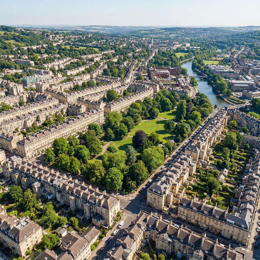
Flux 2 LoRA Satellite | [text-to-image]
Black Forest Labs' FLUX.2 architecture delivers specialized satellite-view image generation at $0.021 per megapixel through LoRA fine-tuning. Trading general-purpose flexibility for domain-specific precision, this endpoint applies pre-trained satellite/aerial photography styling without requiring custom model training. Built for developers who need consistent overhead perspective rendering across map visualizations, urban planning mockups, or geospatial design workflows.
Use Cases: Urban Planning Visualization | Game Map Asset Generation | Architectural Site Context Rendering
Performance
At $0.021 per megapixel with configurable quality acceleration, this specialized endpoint delivers consistent satellite-style output without the $0.60+ training costs of custom LoRA workflows.
| Metric | Result | Context |
|---|---|---|
| Style Strength Control | 0-2x adjustable | `lora_scale` parameter for subtle to extreme satellite rendering |
| Inference Steps | 1-50 configurable | Default 40 steps balances quality with generation time |
| Cost per Megapixel | $0.021 | Approximately 48 megapixels per $1.00 on fal |
| Output Formats | PNG, JPEG, WebP | Compression options for web/print workflows |
| Related Endpoints | FLUX.2 base, FLUX.2 LoRA | Standard generation vs custom LoRA training |
Pre-Trained Satellite Styling Without Training Overhead
FLUX.2's LoRA gallery approach embeds domain-specific visual patterns directly into inference endpoints, eliminating the model training phase entirely. Where standard text-to-image models require explicit "satellite view" prompt engineering or custom LoRA training cycles, this endpoint applies consistent overhead perspective, color grading, and cartographic detail automatically.
What this means for you:
-
Instant satellite aesthetics: Generate overhead views with cartographic styling applied by default, no prompt tuning for perspective angles or color palettes
-
Adjustable style intensity:
`lora_scale`from 0-2x lets you dial satellite rendering from subtle aerial hints to full topographic map treatment -
Multi-image batch generation: Produce up to 4 variations per request for A/B testing different urban layouts or terrain configurations
-
Reproducible outputs: Seed control ensures identical satellite views across regenerations for iterative design workflows
Technical Specifications
| Spec | Details |
|---|---|
| Architecture | FLUX.2 |
| Input Formats | Text prompts with satellite/aerial style presets |
| Output Formats | PNG, JPEG, WebP (configurable compression) |
| Resolution Options | Landscape 4:3, square, portrait aspect ratios |
| License | Commercial use enabled |
API Documentation | Quickstart Guide | Enterprise Pricing
How It Stacks Up
FLUX.2 base ($0.021) – Flux 2 LoRA Satellite applies satellite-specific styling automatically at the same cost per megapixel, eliminating prompt engineering for overhead perspectives. FLUX.2 base offers maximum creative flexibility for general image generation where satellite aesthetics aren't required.
Train Flux LoRA ($0.60+ per training run) – Flux 2 LoRA Satellite provides pre-trained satellite styling without the $0.60+ training costs and setup cycles of custom LoRA training. Custom training remains ideal for proprietary visual styles beyond the gallery's preset options.
FLUX.1 [dev] with LoRAs ($0.025/megapixel) – Flux 2 LoRA Satellite leverages FLUX.2's improved text rendering and multi-reference conditioning architecture at 16% lower cost than FLUX.1 LoRA endpoints. FLUX.1 maintains broader LoRA ecosystem compatibility for legacy custom models.